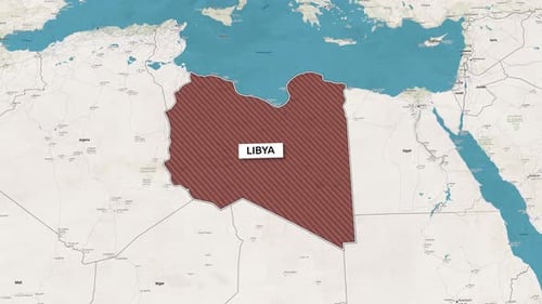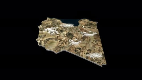
Animated 3D Map of Libya with Realistic Clouds
By RevLine3DOne great value subscription from €14.50/month
- Unlimited downloads of 27+ million creative assets
- AI Tools: video, image and more
- Lifetime commercial license
- Easy cancellation
Already have an account? Sign in
Attributes
- Length
- 0:10
- Resolution
- 3840 x 2160
- File Size
- 969 MB
- Frame Rate
- 29.97 fps
- Alpha Channel
- Yes
- Looped
- No
- Video Encoding
- ProRes
- Orientation
- Horizontal
- Commercial License
- Further Information
Description
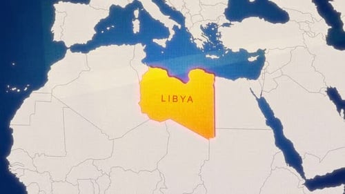
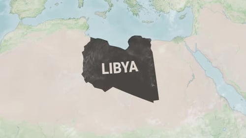
This animated clip presents a detailed 3D render of the country of Libya, showcasing its geographical features from a satellite perspective. The map displays a realistic texture of the landscape, including vast deserts, coastal areas, and a deep blue sea. Dynamic, realistic clouds drift across the terrain, adding depth and a sense of movement to the scene. The 3D map gently rotates, offering a comprehensive view of the country's outline and topography. This visual effect is ideal for enhancing news segments, geographical documentaries, educational presentations, or travel-related content, providing an engaging and informative visual representation of the nation.