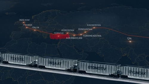
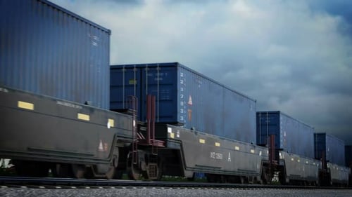
Train animation. China-England line.
By NardavarOne great value subscription from €14.50/month
- Unlimited downloads of 27+ million creative assets
- AI Tools: video, image and more
- Lifetime commercial license
- Easy cancellation
Already have an account? Sign in
Attributes
- Length
- 0:11
- Resolution
- 1920 x 1080
- File Size
- 257 MB
- Frame Rate
- 25 fps
- Alpha Channel
- No
- Looped
- No
- Video Encoding
- ProRes
- Orientation
- Horizontal
- Commercial License
- Further Information
Description
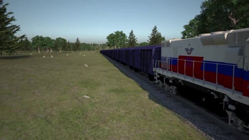
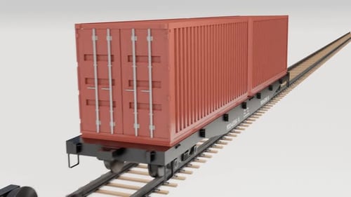
This animated clip presents a sophisticated data visualization of global trade routes. A detailed 3D world map features illuminated country borders and labels, highlighting a specific trade path extending from China through Central Asia and Turkey into Europe. In the foreground, a photorealistic freight train with various cargo types, such as cotton, lumber, diesel, coal, and automotive parts, seamlessly moves across the screen. This modern graphic is ideal for enhancing corporate presentations, illustrating international logistics, supply chain management, economic reports, or educational content focused on global commerce and transportation networks. Its clean design and dynamic movement effectively convey complex data in an engaging visual format.