Animated Digital Map of India with Glowing Network Data
By Motion_VisionOne great value subscription from €14.50/month
- Unlimited downloads of 27+ million creative assets
- AI Tools: video, image and more
- Lifetime commercial license
- Easy cancellation
Already have an account? Sign in
Attributes
- Length
- 0:20
- Resolution
- 1920 x 1080
- File Size
- 532 MB
- Frame Rate
- 29.97 fps
- Alpha Channel
- No
- Looped
- No
- Video Encoding
- ProRes
- Orientation
- Horizontal
- Commercial License
- Further Information
Description
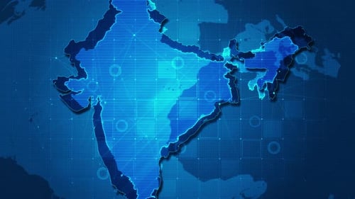
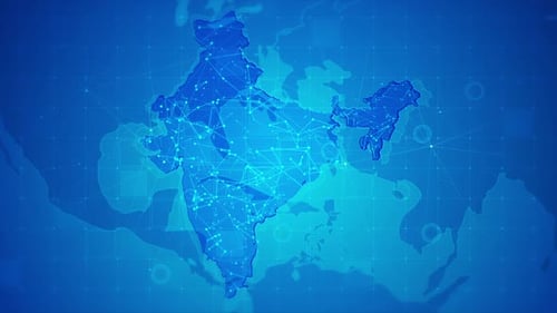
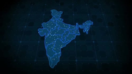
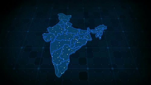
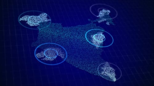
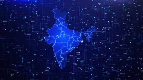
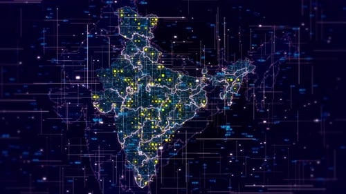
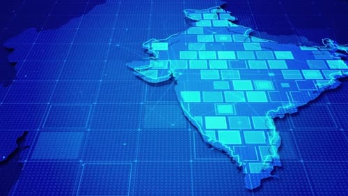
This animated clip presents a sophisticated and futuristic digital map of India, set against a dark blue grid background that suggests a global data network. The map of India and its surrounding regions, including Pakistan, Bangladesh, Nepal, and Bhutan, is intricately detailed with glowing outlines and filled with dynamic, interconnected square data points that subtly animate and shift. The camera smoothly pans across the evolving digital landscape, highlighting the intricate network of information flow and regional connections. This visual effect is perfect for corporate presentations, news segments, and scientific documentaries that require a modern and high-tech representation of geographical data, connectivity, or technological advancement within the Indian subcontinent. It provides a dynamic and engaging backdrop for conveying complex information, making it an excellent choice for projects focusing on international relations, economic growth, or digital infrastructure.